
 Territory
Like sentinels guarding the Atlantic edge of northwest Europe, the outer isles of Ushant (Finistère) and Scilly (Cornwall) mark the western approaches to the Channel, from which this shallow seaway continues eastwards through the “Narrows” into the North Sea and beyond. This interpenetration of land and sea is to be found everywhere around the broken margins of Europe, a collection of peninsulas, islands, estuaries and epicontinental seas.
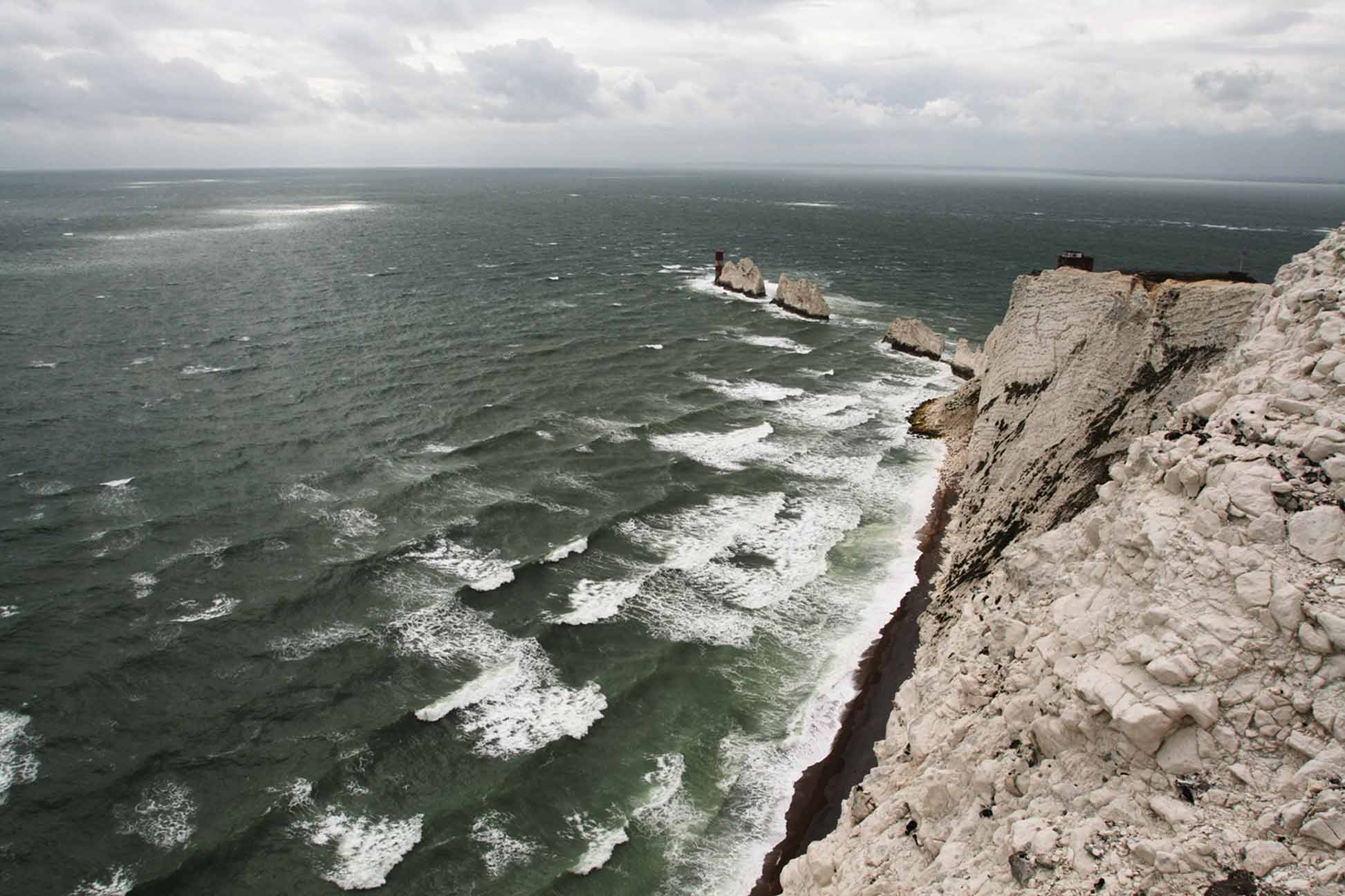
The western approaches to the Channel, so mistrusted by mariners through the ages, begin some 150 km west of Ushant at the edge of the continental shelf. Here the sea-bed rises steeply from the depths of the Atlantic Ocean at around the 200 metre contour and the dark blue of the open sea quickly becomes a murky green. Changing extremes of weather are more than matched by great tidal activity. When strong westerly winds are opposed by an ebb tide down Channel, heavy and turbulent sea conditions inevitably result. As the Channel narrows further to the east, the sea becomes shallower still, and the occurrence of barely submerged sandbanks increases both within and around the main traffic separation zone. Depths of less than 30 metres lie below much of the very narrow Dover Strait, beyond which the treacherous Goodwin Sands, the “Great Ship Swallower,” adds notoriety to the hazards of this busy maritime thoroughfare.
Given the great number of historically recorded shipwrecks along its 373 mile length, it is hardly surprising that the western entrance to the Channel should be caricatured as a gaping mouth, and nicknamed “the Chops of the Channel.”
top


